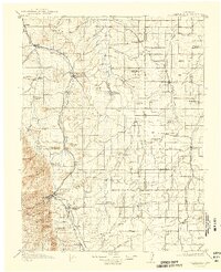
1913 Map of Castle Rock
USGS Topo · Published 1942About this map
Castle Rock stands as the central hub of this 1911 survey, situated at the confluence of several major transportation corridors. The landscape is defined by the early competing routes of the Atchison Topeka and Santa Fe RR and the Denver and Rio Grande RR, which parallel Plum Creek through the western valleys. The map documents a dense network of early rural education, featuring dozens of localized schoolhouses such as Wanee School, High Point School, and Pratt School that served the agricultural homesteads of Douglas and Elbert counties. The eastern plains are dominated by the drainage systems of Cherry Creek and Running Creek, while the southwestern corner rises toward the foothills, marked by prominent landmarks like Dawson Butte and Raspberry Butte. This record captures the transition from frontier settlement to established ranching and rail communities before the mid-century expansion.
Find a feature on this map
88 named features on this map. Tap any name to fly to it.
Don’t see what you’re looking for? This feature index may not catch every label — zoom into the map to look around manually.
Map Details
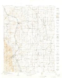
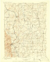
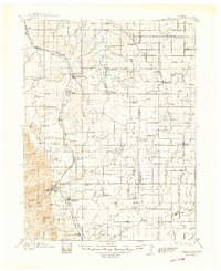
Editions of this 1913 Castle Rock Map
5 editions found

Other maps of this area

1890 · East Denver
USGS Topo · 1:125,000

1893 · Big Springs
USGS Topo · 1:125,000

1893 · Platte Canyon
USGS Topo · 1:125,000

1893 · Colorado Springs
USGS Topo · 1:125,000

1894 · Pikes Peak
USGS Topo · 1:125,000

1894 · Castle Rock
USGS Topo · 1:125,000

1899 · West Denver
USGS Topo · 1:125,000

1901 · Pikes Peak
USGS Topo · 1:125,000

1901 · Pikes Peak
USGS Topo · 1:62,500

1909 · Colorado Springs
USGS Topo · 1:125,000