Loading...
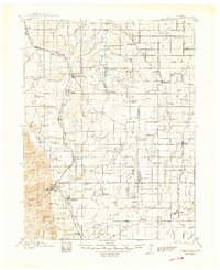
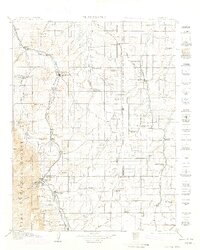
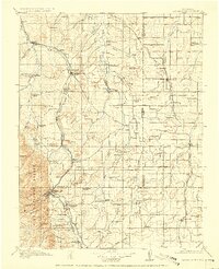
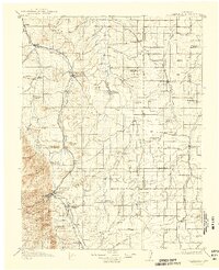
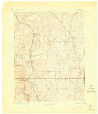
Loading map...1913 Map of Castle Rock
USGS Topo · Published 1948About this map
The high plains of Douglas and Elbert counties meet the foothills of the Pike National Forest in this early twentieth-century survey. The landscape is defined by the parallel courses of Cherry Creek and Running Creek flowing north, while the heavy presence of the Atchison Topeka and Santa Fe RR and the Denver and Rio Grande RR through Castle Rock and Palmer Lake highlights the era's critical rail dependence.
Find a feature on this map
88 named features on this map. Tap any name to fly to it.
Don’t see what you’re looking for? This feature index may not catch every label — zoom into the map to look around manually.
Map Details
Date Portrayed1913
Date Published1948
PublisherU.S. Geological Survey
Map TypeTopographic
Scale1:125,000
Physical Dimensions17.54 x 21.51 inches
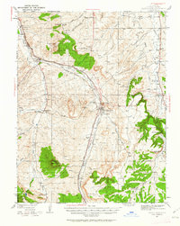
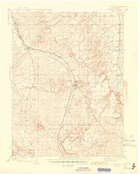
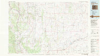
Editions of this 1913 Castle Rock Map
5 editions found

Historical Maps of Colorado Springs Through Time
5 maps found
Featured Locations
Source Details
SourceU.S. Geological Survey
CopyrightPublic Domain