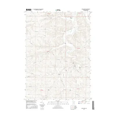
2016 Map of Castle Rock
USGS Topo · Published 2016About this map
The Driftless Area of Grant County is defined by its deep coulees and ridges, where the Blue River and the Fennimore Fork carve through the landscape near the landmark Castle Rock. This survey documents a rural network of valleys and hollows that historically dictated settlement patterns and road placement in southwest Wisconsin. Significant family and community landmarks are scattered across the terrain, including Saint Johns Cem near the eastern border and the German Cem to the south. Small, localized communities like Pleasant Valley, Coon Valley, and Gunderson Valley are connected by narrow roads such as Blue School Rd and Level Valley Rd. The map illustrates the persistent agrarian character of the region, where topographical features like Cedar Cliff and Cass Hollow remain central to the local geography.
Find a feature on this map
56 named features on this map. Tap any name to fly to it.
Don’t see what you’re looking for? This feature index may not catch every label — zoom into the map to look around manually.
Map Details
Editions of this 2016 Castle Rock Map
This is the sole edition of this map. No revisions or reprints were ever made.
Other maps of this area

1900 · Lancaster
USGS Topo · 1:125,000

1902 · Mineral Point
USGS Topo · 1:125,000

1904 · Lancaster
USGS Topo · 1:125,000

1905 · Richland Center
USGS Topo · 1:125,000

1908 · Lancaster
USGS Topo · 1:125,000

1933 · Boscobel
USGS Topo · 1:62,500

1952 · Montfort
USGS Topo · 1:24,000

1958 · La Crosse
USGS Topo · 1:250,000

1959 · Dubuque
USGS Topo · 1:250,000

1960 · Muscoda
USGS Topo · 1:62,500