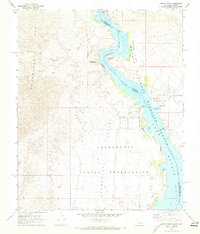
1970 Map of Castle Rock
USGS Topo · Published 1973About this map
Chemehuevi Indian Reservation lands dominate the western desert landscape of this 1970 survey, where the Chemehuevi Mts rise above the Chemehuevi Valley. Along the eastern border, the Colorado River swells into Lake Havasu, creating a complex shoreline defined by the Havasu National Wildlife Refuge. The map captures a specific moment of local development near the water, showing a Trailer Park and street grids like Crystal Beach Rd and Sunrise Dr emerging in the arid terrain.
Find a feature on this map
34 named features on this map. Tap any name to fly to it.
Don’t see what you’re looking for? This feature index may not catch every label — zoom into the map to look around manually.
Map Details
Editions of this 1970 Castle Rock Map
2 editions found
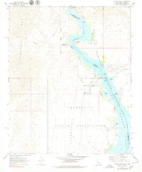
Other maps of this area

1903 · Needles
USGS Topo · 1:125,000

1904 · Needles Special
USGS Topo · 1:125,000

1911 · Parker
USGS Topo · 1:125,000

1943 · Topock
USGS Topo · 1:62,500

1943 · Whipple Mts.
USGS Topo · 1:62,500

1950 · Topock
USGS Topo · 1:62,500

1950 · Sawtooth Range
USGS Topo · 1:62,500

1950 · Whipple Mts
USGS Topo · 1:62,500

1950 · Savahia Peak
USGS Topo · 1:62,500

1951 · Topock
USGS Topo · 1:62,500