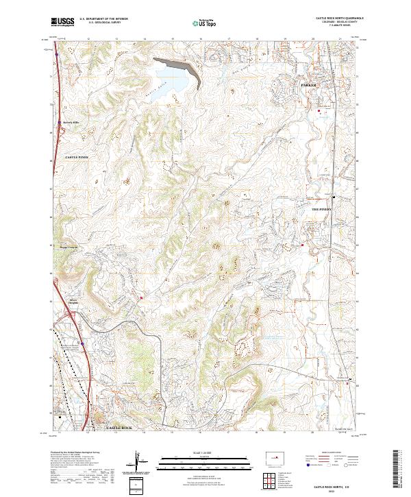
2022 Map of Castle Rock North
USGS Topo · Published 2022About this map
The Castle Rock and Parker corridors show significant suburban development and managed open space in this 2022 survey. The landscape is defined by the drainages of Cherry Creek and Newlin Gulch, which are increasingly surrounded by residential clusters like The Pinery, Castle Pines, and Silver Heights. Local history is anchored by sites such as the Fonder Cem and Cedar Hill Cem, alongside the Robert A Christensen Justice Center Douglas County Courthouse, marking the area as a regional administrative hub.
Find a feature on this map
70 named features on this map. Tap any name to fly to it.
Don’t see what you’re looking for? This feature index may not catch every label — zoom into the map to look around manually.
Map Details
Editions of this 2022 Castle Rock North Map
This is the sole edition of this map. No revisions or reprints were ever made.
Other maps of this area

1890 · East Denver
USGS Topo · 1:125,000

1894 · Castle Rock
USGS Topo · 1:125,000

1913 · Castle Rock
USGS Topo · 1:125,000

1935 · East Denver Nos. 3 and 4
USGS Topo · 1:48,000

1939 · Elizabeth
USGS Topo · 1:62,500

1940 · Piney Creek
USGS Topo · 1:24,000

1940 · Castle Rock
USGS Topo · 1:62,500

1942 · Highland Ranch
USGS Topo · 1:31,680

1942 · Parker
USGS Topo · 1:31,680

1942 · Piney Creek
USGS Topo · 1:31,680