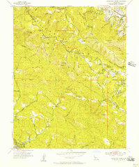
1955 Map of Castle Rock Ridge
USGS Topo · Published 1957About this map
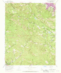
Castle Rock Ridge defines the high country along the Santa Clara and Santa Cruz county line during the mid-1950s. This survey reveals a landscape of deep gulches and steep ridges dotted with isolated institutions and camps, including Alma College and Stuart Camp. The presence of Uncle Billys Cabin near Bielawski Mtn and various named features like Grizzly Rock and Beatty Slide indicate a region shaped by early settlers and mountaineers. Educational life is anchored by rural landmarks such as Montezuma School, Lakeside School, and Browns School. Movement through these mountains relies on winding routes like Skyline Boulevard and Bear Creek Road, while water management is visible at Lake Ranch Reservoir and the Howell Reservoirs. The lower elevations show the community of Boulder Creek and the Felton Guard Station, marking the intersection of wilderness and settlement.
Find a feature on this map
59 named features on this map. Tap any name to fly to it.
Don’t see what you’re looking for? This feature index may not catch every label — zoom into the map to look around manually.
Map Details
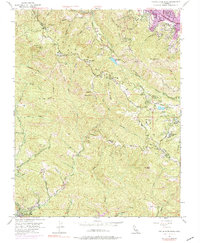
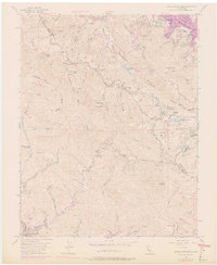
Editions of this 1955 Castle Rock Ridge Map
7 editions found
Other maps of this area

1889 · San Jose
USGS Topo · 1:62,500

1897 · San Jose
USGS Topo · 1:62,500

1897 · Palo Alto
USGS Topo · 1:62,500

1899 · San Jose
USGS Topo · 1:62,500

1899 · Palo Alto
USGS Topo · 1:62,500

1902 · Santa Cruz
USGS Topo · 1:125,000

1916 · New Almaden
USGS Topo · 1:48,000

1919 · New Almaden
USGS Topo · 1:62,500

1940 · Los Gatos
USGS Topo · 1:62,500

1941 · Palo Alto
USGS Topo · 1:62,500