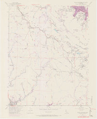
1955 Map of Castle Rock Ridge
USGS Topo · Published 1970About this map
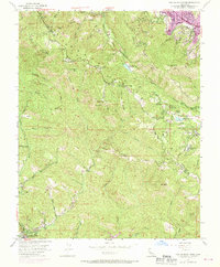
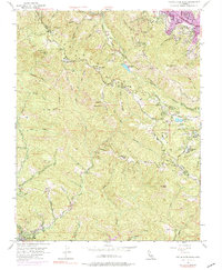
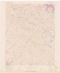
The San Andreas Rift Zone creates a striking diagonal rift through the center of this terrain, following the spine of the Santa Cruz Mountains. This geological feature dictates the local drainage patterns and creates the pockets of water found at Lake Ranch Reservoir and the Howell Reservoirs. The map records a transition from the developing residential areas near Saratoga and Villa Montalvo in the northeast to the more isolated mountain outposts and camps to the southwest.
Find a feature on this map
58 named features on this map. Tap any name to fly to it.
Don’t see what you’re looking for? This feature index may not catch every label — zoom into the map to look around manually.
Map Details
Editions of this 1955 Castle Rock Ridge Map
7 editions found
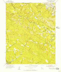
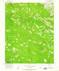
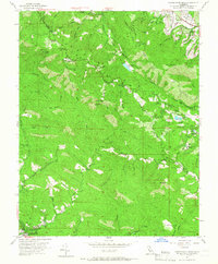
Other maps of this area

1889 · San Jose
USGS Topo · 1:62,500

1897 · San Jose
USGS Topo · 1:62,500

1897 · Palo Alto
USGS Topo · 1:62,500

1899 · San Jose
USGS Topo · 1:62,500

1899 · Palo Alto
USGS Topo · 1:62,500

1902 · Santa Cruz
USGS Topo · 1:125,000

1916 · New Almaden
USGS Topo · 1:48,000

1919 · New Almaden
USGS Topo · 1:62,500

1940 · Los Gatos
USGS Topo · 1:62,500

1941 · Palo Alto
USGS Topo · 1:62,500