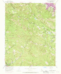
1955 Map of Castle Rock Ridge
USGS Topo · Published 1970About this map
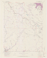
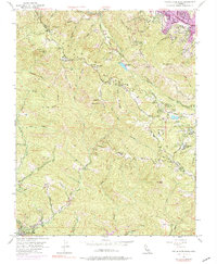
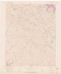
Santa Cruz Mountains peaks and steep canyons dominate this mid-century topographic record, centering on the high ridges where Santa Clara and Santa Cruz counties meet. The survey reveals a landscape of remote mountain schools and youth camps, including Montezuma School, Central Sch, and the Redwood Camp near Kings Creek. Near the northern edge, Skyline Blvd and Summit Road trace the crest near Mount Bielawski, while the San Andreas Rift Zone creates a distinctive linear valley containing Lake Ranch Reservoir.
Find a feature on this map
50 named features on this map. Tap any name to fly to it.
Don’t see what you’re looking for? This feature index may not catch every label — zoom into the map to look around manually.
Map Details
Editions of this 1955 Castle Rock Ridge Map
7 editions found
Other maps of this area

1889 · San Jose
USGS Topo · 1:62,500

1897 · San Jose
USGS Topo · 1:62,500

1897 · Palo Alto
USGS Topo · 1:62,500

1899 · San Jose
USGS Topo · 1:62,500

1899 · Palo Alto
USGS Topo · 1:62,500

1902 · Santa Cruz
USGS Topo · 1:125,000

1916 · New Almaden
USGS Topo · 1:48,000

1919 · New Almaden
USGS Topo · 1:62,500

1940 · Los Gatos
USGS Topo · 1:62,500

1941 · Palo Alto
USGS Topo · 1:62,500