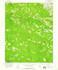
1955 Map of Castle Rock Ridge
USGS Topo · Published 1960About this map
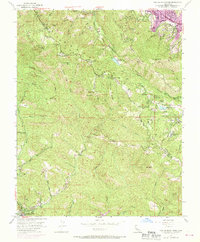
Skyline Boulevard snakes along the crest of Castle Rock Ridge, marking the high-altitude boundary between Santa Clara and Santa Cruz counties. This mid-century survey reveals a landscape defined by its transition from educational and recreational retreats to steep, creek-cut wilderness. Notable institutions like Alma College and the Montezuma School are situated near the emerging waters of Lexington Res, while the remote interior is dotted with legacy landmarks such as Uncle Billys Cabin and Redwood Camp. The mapping of features like Castle Rock Falls and Grizzly Rock alongside various rural schoolhouses, including Browns School and Central Sch, reflects a period when these mountains hosted a mix of small-scale agriculture, youth forestry camps, and secluded mountain residences before late-twentieth-century suburbanization reached the lower slopes.
Find a feature on this map
55 named features on this map. Tap any name to fly to it.
Don’t see what you’re looking for? This feature index may not catch every label — zoom into the map to look around manually.
Map Details
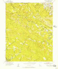
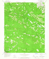
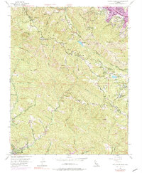
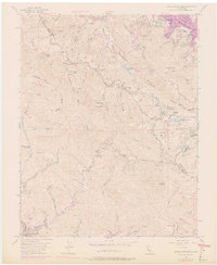
Editions of this 1955 Castle Rock Ridge Map
7 editions found
Other maps of this area

1889 · San Jose
USGS Topo · 1:62,500

1897 · San Jose
USGS Topo · 1:62,500

1897 · Palo Alto
USGS Topo · 1:62,500

1899 · San Jose
USGS Topo · 1:62,500

1899 · Palo Alto
USGS Topo · 1:62,500

1902 · Santa Cruz
USGS Topo · 1:125,000

1916 · New Almaden
USGS Topo · 1:48,000

1919 · New Almaden
USGS Topo · 1:62,500

1940 · Los Gatos
USGS Topo · 1:62,500

1941 · Palo Alto
USGS Topo · 1:62,500