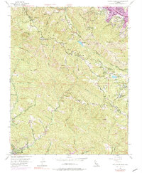
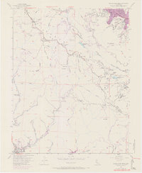
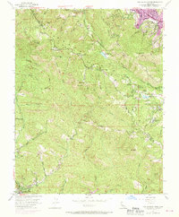
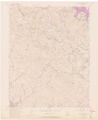
1955 Map of Castle Rock Ridge
USGS Topo · Published 1976About this map
The ridge of the Santa Cruz Mountains serves as the boundary between Santa Cruz and Santa Clara counties, characterized by sharp elevation changes and deep creek drainages. High-altitude points such as Mount Bielawski and The Peak overlook a landscape of gulches and ridges, including Diamond Ridge and Oak Ridge. The area reflects a history of both education and recreation, as seen in the presence of Alma College, Montezuma School, and youth retreats like Stuart Camp and Redwood Camp.
Find a feature on this map
50 named features on this map. Tap any name to fly to it.
Don’t see what you’re looking for? This feature index may not catch every label — zoom into the map to look around manually.
Map Details
Editions of this 1955 Castle Rock Ridge Map
7 editions found
Other maps of this area

1889 · San Jose
USGS Topo · 1:62,500

1897 · San Jose
USGS Topo · 1:62,500

1897 · Palo Alto
USGS Topo · 1:62,500

1899 · San Jose
USGS Topo · 1:62,500

1899 · Palo Alto
USGS Topo · 1:62,500

1902 · Santa Cruz
USGS Topo · 1:125,000

1916 · New Almaden
USGS Topo · 1:48,000

1919 · New Almaden
USGS Topo · 1:62,500

1940 · Los Gatos
USGS Topo · 1:62,500

1941 · Palo Alto
USGS Topo · 1:62,500