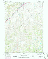
1968 Map of Castle Rock
USGS Topo · Published 1986About this map
Castle Rock serves as the focal point for this mountain landscape, positioned where the Union Pacific railroad snakes through the bottom of Echo Canyon. The topography is defined by a dense network of drainages and canyons that feed into Echo Creek, including Stag Canyon and Ellis Canyon. The placement of numerous springs and cattle-related features like corrals indicates a landscape primarily utilized for ranching and water management in the late 1960s.
Find a feature on this map
18 named features on this map. Tap any name to fly to it.
Don’t see what you’re looking for? This feature index may not catch every label — zoom into the map to look around manually.
Map Details
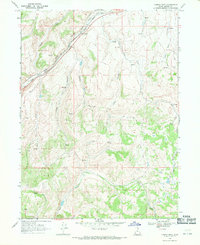
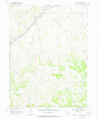
Editions of this 1968 Castle Rock Map
3 editions found
Other maps of this area

1885 · Salt Lake
USGS Topo · 1:250,000

1900 · Coalville
USGS Topo · 1:125,000

1903 · Coalville
USGS Topo · 1:125,000

1954 · Salt Lake City
USGS Topo · 1:250,000

1954 · Ogden
USGS Topo · 1:250,000

1958 · Ogden
USGS Topo · 1:250,000

1958 · Salt Lake City
USGS Topo · 1:250,000

1960 · Ogden
USGS Topo · 1:250,000

1960 · Salt Lake City
USGS Topo · 1:250,000

1964 · Francis Canyon
USGS Topo · 1:24,000