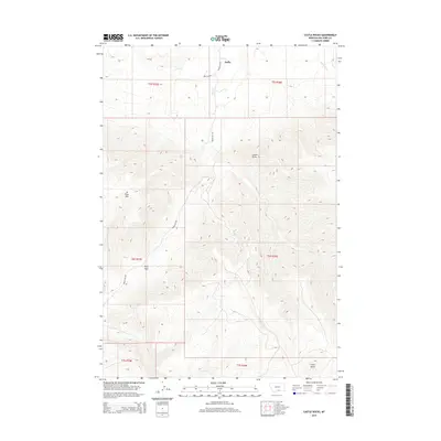
2014 Map of Castle Rocks
USGS Topo · Published 2014About this map
Pryor serves as the primary settlement on this Big Horn County landscape, positioned where the terrain begins its ascent into the high country. The topography is defined by significant elevations such as W Pryor Mtn and the namesake Castle Rocks, which overlook a complex system of drainages and seasonal waterways. A critical passage through the region is marked by Pryor Gap, a feature that has historically influenced transit patterns across this portion of Montana.
Find a feature on this map
18 named features on this map. Tap any name to fly to it.
Don’t see what you’re looking for? This feature index may not catch every label — zoom into the map to look around manually.
Map Details
Editions of this 2014 Castle Rocks Map
This is the sole edition of this map. No revisions or reprints were ever made.
Other maps of this area

1954 · Billings
USGS Topo · 1:250,000

1957 · Billings
USGS Topo · 1:250,000

1958 · Billings
USGS Topo · 1:250,000

1964 · Big Ice Cave
USGS Topo · 1:24,000

1967 · Castle Rocks
USGS Topo · 1:24,000

1967 · Deep Creek
USGS Topo · 1:24,000

1967 · Pryor
USGS Topo · 1:24,000

1967 · Deep Creek SW
USGS Topo · 1:24,000

1967 · Section House Draw
USGS Topo · 1:24,000
1967 · Pryor NW
USGS Topo · 1:24,000