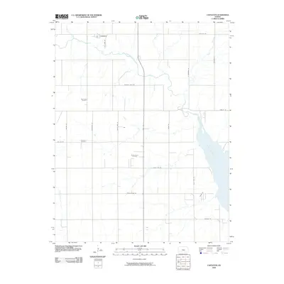
2009 Map of Castleton
USGS Topo · Published 2009About this map
Castleton sits at the northern edge of this Reno County landscape, where the North Fork (Ninnescah River) winds through a grid of agricultural section lines. This area reflects a mid-continent rural economy transitioning into the early 21st century, defined by the extensive section-line road network and the presence of the Albion North Oil Field south of the main settlement. The landscape is carved by several smaller waterways, including Crow Creek, Red Rock Creek, and Spring Creek, which eventually drain toward the significant waters of the Cheney Reservoir visible in the southeast. For those tracing family histories or local geography, the map identifies established landmarks such as the Saint Agnes Cemetery and Lone Star Cemetery, preserving the locations of these community cornerstones amidst the surrounding prairie and farmland.
Find a feature on this map
27 named features on this map. Tap any name to fly to it.
Don’t see what you’re looking for? This feature index may not catch every label — zoom into the map to look around manually.
Map Details
Editions of this 2009 Castleton Map
This is the sole edition of this map. No revisions or reprints were ever made.
Other maps of this area
1889 · Cheney
USGS Topo · 1:125,000
1891 · Cheney
USGS Topo · 1:125,000
1892 · Kingman
USGS Topo · 1:125,000
1894 · Kingman
USGS Topo · 1:125,000
1901 · Cheney
USGS Topo · 1:125,000
1955 · Wichita
USGS Topo · 1:250,000
1955 · Pratt
USGS Topo · 1:250,000
1958 · Wichita
USGS Topo · 1:250,000
1959 · Pratt
USGS Topo · 1:250,000
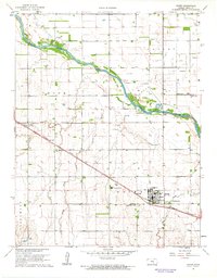
1961 · Haven
USGS Topo · 1:24,000