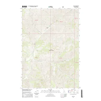
2017 Map of Casto
USGS Topo · Published 2017About this map
Challis National Forest dominates this mountainous landscape in Custer County, defined by the deep drainage basins of Loon Cr and Mayfield Cr. The small settlement of Casto sits near the confluence of several mountain streams, serving as a focal point in a territory otherwise characterized by high-elevation ridges and narrow valleys. This 2017 survey shows a remote backcountry network of trails and primitive roads, including the Loon Creek Rd and the Knapp-Loon Creek route, which provide access to interior landmarks like Horse Ladder.
Find a feature on this map
36 named features on this map. Tap any name to fly to it.
Don’t see what you’re looking for? This feature index may not catch every label — zoom into the map to look around manually.
Map Details
Editions of this 2017 Casto Map
This is the sole edition of this map. No revisions or reprints were ever made.
Other maps of this area

1919 · Custer
USGS Topo · 1:125,000

1922 · Custer
USGS Topo · 1:125,000

1930 · Casto
USGS Topo · 1:125,000

1957 · Challis
USGS Topo · 1:250,000

1960 · Challis
USGS Topo · 1:250,000

1963 · Challis
USGS Topo · 1:250,000

1963 · Pinyon Peak
USGS Topo · 1:24,000

1963 · Custer
USGS Topo · 1:24,000

1963 · Casto
USGS Topo · 1:24,000

1963 · Rock Creek
USGS Topo · 1:24,000