
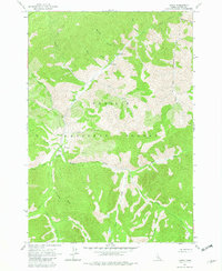
1963 Map of Casto
USGS Topo · Published 1964About this map
Loon Creek winds through the heart of the Challis National Forest, serving as the primary drainage for this high-elevation backcountry in Custer County. In the early 1960s, the area supported a mix of wilderness infrastructure and isolated private holdings, including the Boyle Ranch and its adjacent Boyle Landing Strip. The presence of a Prospect near Mayfield Creek suggests the enduring interest in the region's mineral potential, even as recreation became more formal with the establishment of the Transfer Campground and Tincup Campground.
Find a feature on this map
27 named features on this map. Tap any name to fly to it.
Don’t see what you’re looking for? This feature index may not catch every label — zoom into the map to look around manually.
Map Details
Editions of this 1963 Casto Map
3 editions found
Other maps of this area

1919 · Custer
USGS Topo · 1:125,000

1922 · Custer
USGS Topo · 1:125,000

1930 · Casto
USGS Topo · 1:125,000

1957 · Challis
USGS Topo · 1:250,000

1960 · Challis
USGS Topo · 1:250,000

1963 · Challis
USGS Topo · 1:250,000

1963 · Pinyon Peak
USGS Topo · 1:24,000

1963 · Custer
USGS Topo · 1:24,000

1963 · Rock Creek
USGS Topo · 1:24,000
1963 · Sherman Peak
USGS Topo · 1:24,000