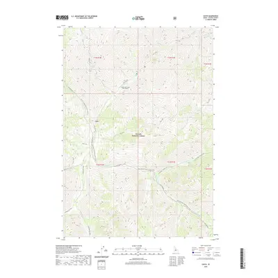
2020 Map of Casto
USGS Topo · Published 2020About this map
Casto sits at the junction of several drainage systems within the Challis National Forest, where the landscape is defined by the winding paths of Loon Creek and its many tributaries. The area's relative isolation is highlighted by the Upper Loon Creek USFS Airport, providing a critical point of access to this mountainous backcountry. Movement through the area follows historical corridors such as the Loon Creek Rd and the Loon Creek Road Winter Trail, which trace the narrow valley floors. The hydrology of the region is exceptionally dense, featuring named waters such as Mayfield Cr, Beaver-Trail Creek, and Rat Creek. This survey captures the intricate network of forest roads and trails, including Grouse Creek Rd, which provide the only land-based connections between the various forks and peaks of the Custer County wilderness.
Find a feature on this map
39 named features on this map. Tap any name to fly to it.
Don’t see what you’re looking for? This feature index may not catch every label — zoom into the map to look around manually.
Map Details
Editions of this 2020 Casto Map
This is the sole edition of this map. No revisions or reprints were ever made.
Other maps of this area

1919 · Custer
USGS Topo · 1:125,000

1922 · Custer
USGS Topo · 1:125,000

1930 · Casto
USGS Topo · 1:125,000

1957 · Challis
USGS Topo · 1:250,000

1960 · Challis
USGS Topo · 1:250,000

1963 · Challis
USGS Topo · 1:250,000

1963 · Pinyon Peak
USGS Topo · 1:24,000

1963 · Custer
USGS Topo · 1:24,000

1963 · Casto
USGS Topo · 1:24,000

1963 · Rock Creek
USGS Topo · 1:24,000