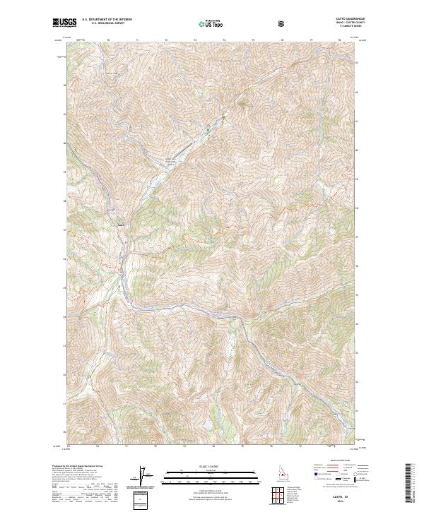
2024 Map of Casto
USGS Topo · Published 2024About this map
Casto serves as a small anchor in this deep wilderness survey of Custer County, situated along the winding path of Loon Creek. The landscape is dominated by the Challis National Forest and the Frank Church-River of No Return Wilderness, where transportation relies heavily on a complex network of trails and unpaved routes. Notable among these is the Loon Creek Road (Winter Trail) Trl and the Knapp-Loon Creek Trl, reflecting the area's history of seasonal access and pack travel. Remote aviation infrastructure is represented by the Upper Loon Creek USFS Airport, providing a vital connection to the outside world. To the east, the drainage system of Mayfield Creek and its forks, including East Fork Mayfield Creek, carves through the terrain, with historical routes like the East Mayfield-Yankee Fork Trl tracing the high ridges and valley floors.
Find a feature on this map
40 named features on this map. Tap any name to fly to it.
Don’t see what you’re looking for? This feature index may not catch every label — zoom into the map to look around manually.
Map Details
Editions of this 2024 Casto Map
This is the sole edition of this map. No revisions or reprints were ever made.
Other maps of this area

1919 · Custer
USGS Topo · 1:125,000

1922 · Custer
USGS Topo · 1:125,000

1930 · Casto
USGS Topo · 1:125,000

1957 · Challis
USGS Topo · 1:250,000

1960 · Challis
USGS Topo · 1:250,000

1963 · Challis
USGS Topo · 1:250,000

1963 · Pinyon Peak
USGS Topo · 1:24,000

1963 · Custer
USGS Topo · 1:24,000

1963 · Casto
USGS Topo · 1:24,000

1963 · Rock Creek
USGS Topo · 1:24,000