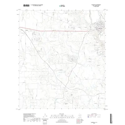
2019 Map of Castroville
USGS Topo · Published 2019About this map
The Medina River meanders along the eastern edge of this landscape, anchoring the settlement of Castroville. Known for its distinct heritage, the town's grid is preserved here with streets named for European capitals like Berlin St, Vienna St, and Paris St. To the west, the terrain transitions into a complex network of ephemeral waterways, including San Francisco Perez Cr and Chacon Cr, which flow toward Goeth Lake in the south. The presence of the Medina Irrigation Canal in the northeast highlights the engineering efforts to manage water in this semi-arid region of Medina County. Genealogists will find the Saint Louis Cem and Zion Cem clearly marked near the town center, while landmarks like the T-Ranch Airport and Chacowalla Water Hole provide specific points of interest for local history researchers and land surveyors.
Find a feature on this map
110 named features on this map. Tap any name to fly to it.
Don’t see what you’re looking for? This feature index may not catch every label — zoom into the map to look around manually.
Map Details
Editions of this 2019 Castroville Map
This is the sole edition of this map. No revisions or reprints were ever made.
Other maps of this area
1942 · Natalia
USGS Topo · 1:62,500
1954 · San Antonio
USGS Topo · 1:250,000
1956 · New Fountain
USGS Topo · 1:62,500
1957 · San Antonio
USGS Topo · 1:250,000
1958 · La Coste
USGS Topo · 1:24,000
1958 · La Coste NE
USGS Topo · 1:24,000
1964 · Riomedina
USGS Topo · 1:24,000
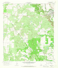
1964 · Castroville
USGS Topo · 1:24,000
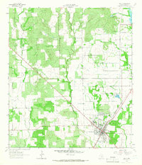
1964 · Devine
USGS Topo · 1:24,000
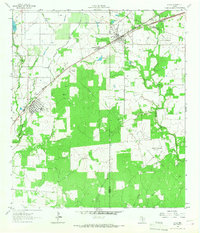
1964 · Lytle
USGS Topo · 1:24,000