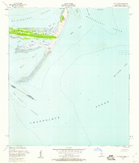
1951 Map of Cat Island
USGS Topo · Published 1960About this map
Juan De Cuevas Claim Cat Island dominates this mid-century coastal survey, reflecting the complex land tenure history of the Gulf Coast. The island's geography is defined by its shifting sand structures, most notably the Great Sand Hill and several elongated features like Phoenix Spit and Raccoon Spit. These landforms act as a barrier between the Mississippi Sound to the north and the expansive Chandeleur Sound to the south. The chart captures the intricate interplay of water and land in the early 1950s, detailing internal waterways like North Bayou and Little Bay, while marking navigational aids such as a Light and a Flowing Well near the shoreline. The presence of Stumps along the southern margin of Cat Island suggests a landscape in constant flux, shaped by the tides and storms of the Mississippi and Louisiana borderlands.
Find a feature on this map
26 named features on this map. Tap any name to fly to it.
Don’t see what you’re looking for? This feature index may not catch every label — zoom into the map to look around manually.
Map Details
Editions of this 1951 Cat Island Map
3 editions found
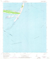
Other maps of this area

1893 · Cat Island
USGS Topo · 1:62,500

1946 · Isle Au Pitre
USGS Topo · 1:31,680
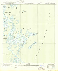
1949 · Door Point
USGS Topo · 1:31,680

1950 · Ship Island
USGS Topo · 1:24,000

1951 · Cat Island
USGS Topo · 1:24,000

1953 · Mobile
USGS Topo · 1:250,000

1954 · Isle Au Pitre
USGS Topo · 1:31,680

1954 · Gulfport South
USGS Topo · 1:24,000

1954 · Biloxi
USGS Topo · 1:62,500

1955 · Pass Christian
USGS Topo · 1:24,000