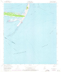
1951 Map of Cat Island
USGS Topo · Published 1971About this map
The Juan De Cuevas Claim Cat Island anchors this coastal survey, highlighting the historic Spanish land grant that encompasses much of the island's terrestrial footprint. The topography of the island is defined by dramatic coastal features, from the elevated Great Sand Hill to the elongated extensions of Raccoon Spit and Phoenix Spit. These sandy landforms shift between the Mississippi Sound and the open waters of Chandeleur Sound, with a small Light and a Flowing Well marking the few human-made improvements in this maritime environment. The intricate shoreline along Little Bay and the narrow passage of North Bayou demonstrate a landscape shaped by tidal forces and seasonal storms, while the Mississippi Louisiana state line cuts through the southern reaches of the Cat Island Channel.
Find a feature on this map
21 named features on this map. Tap any name to fly to it.
Don’t see what you’re looking for? This feature index may not catch every label — zoom into the map to look around manually.
Map Details
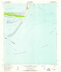
Editions of this 1951 Cat Island Map
3 editions found
Other maps of this area

1893 · Cat Island
USGS Topo · 1:62,500

1946 · Isle Au Pitre
USGS Topo · 1:31,680
1949 · Door Point
USGS Topo · 1:31,680

1950 · Ship Island
USGS Topo · 1:24,000

1951 · Cat Island
USGS Topo · 1:24,000

1953 · Mobile
USGS Topo · 1:250,000

1954 · Isle Au Pitre
USGS Topo · 1:31,680

1954 · Gulfport South
USGS Topo · 1:24,000

1954 · Biloxi
USGS Topo · 1:62,500

1955 · Pass Christian
USGS Topo · 1:24,000