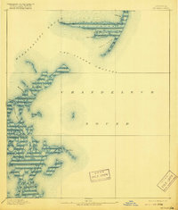
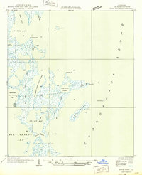
1893 Map of Cat Island
USGS Topo · Published 1916About this map
Cat Island dominates the northern reaches of this coastal survey, serving as a critical navigation landmark where Mississippi Sound meets the Cat Island Channel. The 1890s-era topography reveals a low-lying archipelago including Sundown Island and Brush Island, highlighting the intricate network of tidal waterways such as Grand Pass and Deep Pass that define the eastern edges of St. Bernard Parish.
Find a feature on this map
20 named features on this map. Tap any name to fly to it.
Don’t see what you’re looking for? This feature index may not catch every label — zoom into the map to look around manually.
Map Details
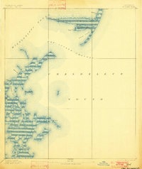
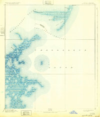
Editions of this 1893 Cat Island Map
4 editions found
Other maps of this area

1893 · Cat Island
USGS Topo · 1:62,500

1893 · Chandeleur
USGS Topo · 1:62,500

1893 · Toulme
USGS Topo · 1:62,500

1895 · Bodreau
USGS Topo · 1:62,500

1935 · Mitchell Keys
USGS Topo · 1:31,680

1946 · Oak Mound Bayou
USGS Topo · 1:31,680

1946 · Isle Au Pitre
USGS Topo · 1:31,680
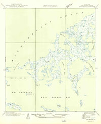
1949 · Drum Bay
USGS Topo · 1:31,680
1949 · Door Point
USGS Topo · 1:31,680

1950 · Ship Island
USGS Topo · 1:24,000