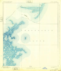
1893 Map of Cat Island
USGS Topo · Published 1932About this map
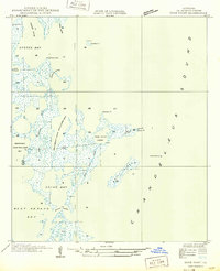
Cat Island and its surrounding coastal waters dominate this late 19th-century hydrographic survey, which captures the complex shoreline of the Mississippi-Louisiana maritime border. The map provides a detailed look at the island's unique T-shape, including the prominent West Point and the protective Cat Island Light, an essential navigational aid for vessels transitioning between the Mississippi Sound and Chandeleur Sound. Further south, the intricate marshland and barrier formations of the Pitre area and Brush Island reveal the dynamic nature of the Gulf coast before modern shoreline changes.
Find a feature on this map
24 named features on this map. Tap any name to fly to it.
Don’t see what you’re looking for? This feature index may not catch every label — zoom into the map to look around manually.
Map Details
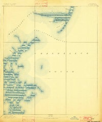
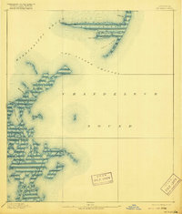
Editions of this 1893 Cat Island Map
4 editions found
Other maps of this area

1893 · Cat Island
USGS Topo · 1:62,500

1893 · Chandeleur
USGS Topo · 1:62,500

1893 · Toulme
USGS Topo · 1:62,500

1895 · Bodreau
USGS Topo · 1:62,500

1935 · Mitchell Keys
USGS Topo · 1:31,680

1946 · Oak Mound Bayou
USGS Topo · 1:31,680

1946 · Isle Au Pitre
USGS Topo · 1:31,680
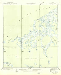
1949 · Drum Bay
USGS Topo · 1:31,680
1949 · Door Point
USGS Topo · 1:31,680

1950 · Ship Island
USGS Topo · 1:24,000