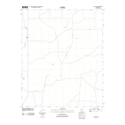
2010 Map of Cat Mesa
USGS Topo · Published 2010About this map
Monte Prieto Ranch and its associated Monte Prieto Ranch Airport sit at the western edge of this Socorro County landscape, positioned along the boundary of the White Sands Missile Range. This region is defined by the high, flat expanse of Cat Mesa and the drainage of Cuate Canyon. The map reveals a sparse network of ranching outposts and infrastructure, with Copeland and Petross serving as named points of reference in an area dominated by large-scale land use and military proximity.
Find a feature on this map
12 named features on this map. Tap any name to fly to it.
Don’t see what you’re looking for? This feature index may not catch every label — zoom into the map to look around manually.
Map Details
Editions of this 2010 Cat Mesa Map
This is the sole edition of this map. No revisions or reprints were ever made.
Other maps of this area

1918 · Oscura Peak
USGS Topo · 1:125,000

1948 · Broken Back Crater
USGS Topo · 1:62,500

1950 · Little Black Peak
USGS Topo · 1:62,500

1954 · Tularosa
USGS Topo · 1:250,000

1954 · Fort Sumner
USGS Topo · 1:250,000

1954 · Socorro
USGS Topo · 1:250,000

1955 · Roswell
USGS Topo · 1:250,000

1958 · Socorro
USGS Topo · 1:250,000

1958 · Fort Sumner
USGS Topo · 1:250,000

1958 · Roswell
USGS Topo · 1:250,000