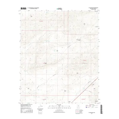
2017 Map of Cat Mountain
USGS Topo · Published 2017About this map
The Bent settlement sits along the southern edge of this high-elevation landscape, where the foothills of the Sacramento Mountains rise toward the north. This 2017 survey reveals an arid environment defined by seasonal water sources and significant topographical shifts, ranging from the flat expanses of White Flat to prominent peaks like Cat Mountain and Coyote Peak. The terrain is deeply incised by drainages such as Tecolote Canyon and Rinconada Canyon, which channel water from the surrounding heights toward the Tularosa Cr.
Find a feature on this map
34 named features on this map. Tap any name to fly to it.
Don’t see what you’re looking for? This feature index may not catch every label — zoom into the map to look around manually.
Map Details
Editions of this 2017 Cat Mountain Map
This is the sole edition of this map. No revisions or reprints were ever made.
Other maps of this area

1916 · Tularosa
USGS Topo · 1:125,000

1947 · Three Rivers
USGS Topo · 1:62,500

1948 · Tularosa
USGS Topo · 1:62,500

1950 · Three Rivers
USGS Topo · 1:24,000

1950 · Sierra Blanca Peak
USGS Topo · 1:62,500

1950 · Mescalero
USGS Topo · 1:62,500

1954 · Tularosa
USGS Topo · 1:250,000

1955 · Roswell
USGS Topo · 1:250,000

1958 · Roswell
USGS Topo · 1:250,000

1958 · Tularosa
USGS Topo · 1:250,000