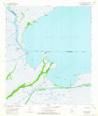
1963 Map of Catahoula Bay
USGS Topo · Published 1964About this map
Lake Salvador and its surrounding wetlands define this mid-century survey of the boundary between St. Charles and Lafourche Parishes. The aquatic landscape is dominated by the wide expanse of Catahoula Bay and Temple Bay, where the transition from open water to marsh is marked by numerous shell banks, such as The Temple Shell Bank and Bois Chactas Shell Bank. The interaction between the natural bayous and human engineering is evident in the straight lines of the Intracoastal Waterway and various industrial channels like the Harvey Canal No 2. This era reveals an active coastal landscape where resource extraction is prominent, indicated by numerous Gas Wells and Drill Holes scattered across the Gas Field. Isolated settlements and points of interest like Camardelle, Tabatiere Perdue, and Chaudiere Casse suggest a way of life deeply tied to the delta's intricate water network.
Find a feature on this map
32 named features on this map. Tap any name to fly to it.
Don’t see what you’re looking for? This feature index may not catch every label — zoom into the map to look around manually.
Map Details
Editions of this 1963 Catahoula Bay Map
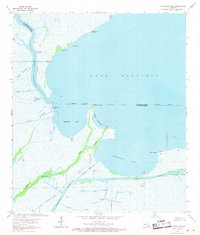
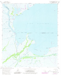
3 editions found
Other maps of this area

1891 · Hahnville
USGS Topo · 1:62,500

1891 · New Orleans
USGS Topo · 1:62,500

1892 · Barataria
USGS Topo · 1:62,500

1892 · Cut-Off
USGS Topo · 1:62,500

1932 · New Orleans SW
USGS Topo · 1:31,680

1932 · Hahnville SW
USGS Topo · 1:31,680

1939 · Cut-Off
USGS Topo · 1:62,500
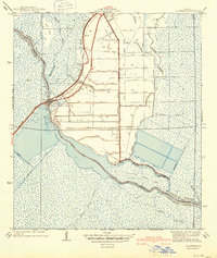
1940 · Allemands
USGS Topo · 1:31,680

1941 · Cut-Off
USGS Topo · 1:62,500

1941 · Barataria
USGS Topo · 1:62,500