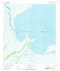
1963 Map of Catahoula Bay
USGS Topo · Published 1971About this map
Lake Salvador dominates this coastal landscape, its expansive waters meeting a complex network of marshes and winding bayous that define the boundary between St. Charles and Lafourche parishes. This early 1960s environment shows a region defined by its water-based industry and navigation. The Intracoastal Waterway cuts a straight path across the southern marshes, intersecting with the Harvey Canal and Wickey Canal to facilitate maritime transit. Evidence of the era's energy exploration is visible through numerous drill holes and gas wells scattered across the Gas Field near the waterway.
Find a feature on this map
40 named features on this map. Tap any name to fly to it.
Don’t see what you’re looking for? This feature index may not catch every label — zoom into the map to look around manually.
Map Details
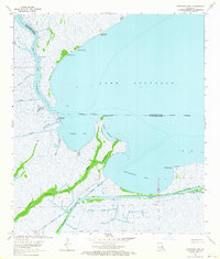
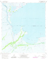
Editions of this 1963 Catahoula Bay Map
3 editions found
Other maps of this area

1891 · Hahnville
USGS Topo · 1:62,500

1891 · New Orleans
USGS Topo · 1:62,500

1892 · Barataria
USGS Topo · 1:62,500

1892 · Cut-Off
USGS Topo · 1:62,500

1932 · New Orleans SW
USGS Topo · 1:31,680

1932 · Hahnville SW
USGS Topo · 1:31,680

1939 · Cut-Off
USGS Topo · 1:62,500
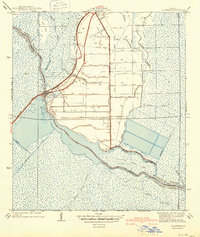
1940 · Allemands
USGS Topo · 1:31,680

1941 · Cut-Off
USGS Topo · 1:62,500

1941 · Barataria
USGS Topo · 1:62,500