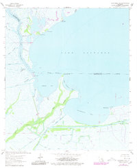
1963 Map of Catahoula Bay
USGS Topo · Published 1980About this map
Lake Salvador and the labyrinthine wetlands of the St. Charles Parish and Lafourche Parish line dominate this coastal landscape. The transition between open water and marsh is defined by unique shell features such as Bois Chactas Shell Bank and The Temple Shell Bank, while the southern reaches show the industrial footprint of a Gas Field and numerous Gas Wells. Navigation is centered on the Intracoastal Waterway and Bayou des Allemands, which connect the inner bays to the larger Gulf network.
Find a feature on this map
33 named features on this map. Tap any name to fly to it.
Don’t see what you’re looking for? This feature index may not catch every label — zoom into the map to look around manually.
Map Details
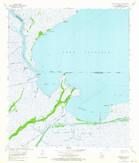
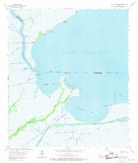
Editions of this 1963 Catahoula Bay Map
3 editions found
Other maps of this area

1891 · Hahnville
USGS Topo · 1:62,500

1891 · New Orleans
USGS Topo · 1:62,500

1892 · Barataria
USGS Topo · 1:62,500

1892 · Cut-Off
USGS Topo · 1:62,500

1932 · New Orleans SW
USGS Topo · 1:31,680

1932 · Hahnville SW
USGS Topo · 1:31,680

1939 · Cut-Off
USGS Topo · 1:62,500
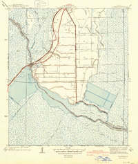
1940 · Allemands
USGS Topo · 1:31,680

1941 · Cut-Off
USGS Topo · 1:62,500

1941 · Barataria
USGS Topo · 1:62,500