2024 Map of Catahoula
USGS Topo · Published 2024About this map
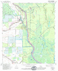
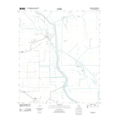
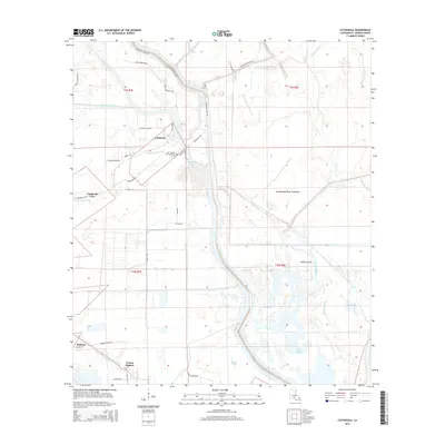
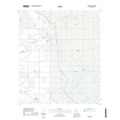
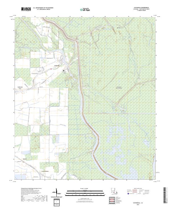
Catahoula sits at the edge of the expansive Atchafalaya Basin Floodway, where the agricultural lands of St. Martin Parish meet the dense wetlands of the basin floor. The settlement pattern follows the high ground along the Catahoula Levee Rd and Catahoula Hwy, with local history anchored at Our Lady of the Lake Cem and the smaller Indian Mound Cem to the northeast. This landscape is defined by its complex hydrography, where named waterways like Bayou Bouillon, Bayou La Rose, and Crocodile Bayou thread through the swamps and brakes.
Find a feature on this map
49 named features on this map. Tap any name to fly to it.
Don’t see what you’re looking for? This feature index may not catch every label — zoom into the map to look around manually.
Map Details
Editions of this 2024 Catahoula Map
This is the sole edition of this map. No revisions or reprints were ever made.
Historical Maps of Catahoula Through Time
6 maps found