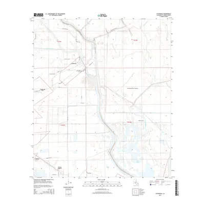
2015 Map of Catahoula
USGS Topo · Published 2015About this map
Catahoula and the neighboring settlements of Catahoula Cove and Coteau Holmes define the inhabited landscape of Saint Martin Parish in this 2015 study. The geography is dominated by the massive Atchafalaya Basin Floodway, which contains a intricate network of waterways including Grand Coulee, Crocodile Bayou, and Bayou La Rose. The map provides specific genealogical detail through the location of Our Lady of the Lake Cem, situated near the banks of Catahoula Lake. A dense network of local roads such as Sidney Guidry Rd and Clovis Borel Rd illustrates the rural development patterns of the region, while landmarks like Willow Lake and Bay Baron point to the area's deep-rooted connection to the wetlands of southern Louisiana.
Find a feature on this map
47 named features on this map. Tap any name to fly to it.
Don’t see what you’re looking for? This feature index may not catch every label — zoom into the map to look around manually.
Map Details
Editions of this 2015 Catahoula Map
This is the sole edition of this map. No revisions or reprints were ever made.
Other maps of this area

1935 · Osca Bayou
USGS Topo · 1:62,500

1939 · St. Martinsville
USGS Topo · 1:62,500

1940 · Arnaudville
USGS Topo · 1:62,500

1941 · Loreauville
USGS Topo · 1:62,500

1953 · Cow Bayou
USGS Topo · 1:24,000

1954 · Loreauville
USGS Topo · 1:62,500

1954 · Baton Rouge
USGS Topo · 1:250,000

1955 · Osca Bayou
USGS Topo · 1:62,500

1956 · Baton Rouge
USGS Topo · 1:250,000

1957 · St. Martinville
USGS Topo · 1:62,500