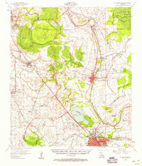
1957 Map of St. Martinville
USGS Topo · Published 1958About this map
The Bayou Teche corridor defines the cultural and industrial landscape of this mid-century survey, winding through the heart of Acadiana. Sugar plantations and agricultural holdings like Romero Plantation and Hopeland Plantation line the fertile banks, interspersed with the infrastructure of the era's energy economy, most notably the Anse La Butte Oil and Gas Field. In St Martinville, the Longfellow-Evangeline State Park stands as a landmark of regional heritage, while the southern reach of the map shows the expansion of New Iberia and the significant military footprint of the US Naval Auxiliary Air Station.
Find a feature on this map
77 named features on this map. Tap any name to fly to it.
Don’t see what you’re looking for? This feature index may not catch every label — zoom into the map to look around manually.
Map Details
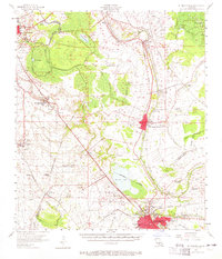
Editions of this 1957 St. Martinville Map
2 editions found
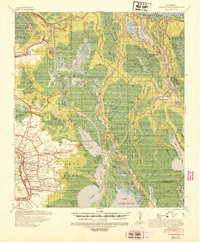
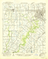
Other maps of this area

1932 · Abbeville NE
USGS Topo · 1:31,680

1935 · Osca Bayou
USGS Topo · 1:62,500

1937 · Jeanerette
USGS Topo · 1:62,500

1937 · Derouen
USGS Topo · 1:62,500

1939 · St. Martinsville
USGS Topo · 1:62,500

1940 · Arnaudville
USGS Topo · 1:62,500
1941 · Loreauville
USGS Topo · 1:62,500

1945 · New Orleans
USGS Topo · 1:250,000

1946 · Milton
USGS Topo · 1:31,680
1946 · Lafayette
USGS Topo · 1:31,680