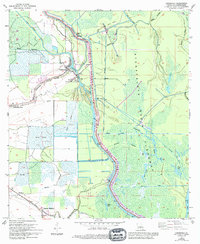
1973 Map of Catahoula
USGS Topo · Published 1994About this map
The West Protection Levee serves as a stark dividing line in this St. Martin Parish landscape, separating the structured Rice Field agricultural zones to the west from the wild, water-dominated Atchafalaya Basin Floodway to the east. Along the western edge, settlements like Catahoula and Coteau Holmes follow the winding banks of Catahoula Coulee, a pattern typical of Cajun prairie and bayou country where higher ground dictated human habitation. The Our Lady of the Lake Cem provides a local genealogical anchor for these communities.
Find a feature on this map
29 named features on this map. Tap any name to fly to it.
Don’t see what you’re looking for? This feature index may not catch every label — zoom into the map to look around manually.
Map Details
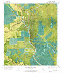
Editions of this 1973 Catahoula Map
2 editions found
Other maps of this area

1935 · Osca Bayou
USGS Topo · 1:62,500

1939 · St. Martinsville
USGS Topo · 1:62,500

1940 · Arnaudville
USGS Topo · 1:62,500

1941 · Loreauville
USGS Topo · 1:62,500

1953 · Cow Bayou
USGS Topo · 1:24,000

1954 · Loreauville
USGS Topo · 1:62,500

1954 · Baton Rouge
USGS Topo · 1:250,000

1955 · Osca Bayou
USGS Topo · 1:62,500

1956 · Baton Rouge
USGS Topo · 1:250,000

1957 · St. Martinville
USGS Topo · 1:62,500