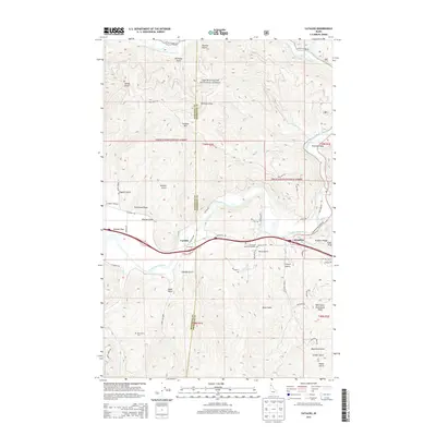
2013 Map of Cataldo
USGS Topo · Published 2013About this map
Coeur d'Alene National Forest blankets the steep northern and southern reaches of this landscape, where the Coeur d'Alene River winds through a central valley corridor. This river system, including the Little North Fork Coeur d'Alene River, dictates the settlement patterns of Cataldo and Kingston, which sit along the valley floor. The map highlights the intersection of modern infrastructure and early regional history, marked by the presence of the Old Mission Cem near Mission Flats. The surrounding terrain is defined by a dense network of gulches and draws, such as Cataldo Gulch and Mission Gulch, which carved the steep slopes of Cataldo Mtn and Kingston Ridge. This area serves as a critical passage through the mountains, following the natural course of the water toward Freeman Eddy.
Find a feature on this map
53 named features on this map. Tap any name to fly to it.
Don’t see what you’re looking for? This feature index may not catch every label — zoom into the map to look around manually.
Map Details
Editions of this 2013 Cataldo Map
This is the sole edition of this map. No revisions or reprints were ever made.
Other maps of this area

1909 · Cataldo
USGS Topo · 1:125,000

1911 · Cataldo
USGS Topo · 1:125,000

1950 · Rochat Peak
USGS Topo · 1:24,000

1950 · Twin Crags
USGS Topo · 1:24,000

1952 · Rochat Peak
USGS Topo · 1:24,000

1952 · Twin Crags
USGS Topo · 1:24,000

1955 · Spokane
USGS Topo · 1:250,000

1957 · Kingston
USGS Topo · 1:62,500

1957 · Kellogg
USGS Topo · 1:62,500

1957 · Calder
USGS Topo · 1:62,500