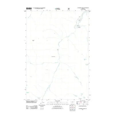
2011 Map of Cathedral Point
USGS Topo · Published 2011About this map
Beartooth Ranch and the Woodbine Campground mark the transition from valley roads to high-elevation terrain in this 2011 survey of Sweet Grass County. The Stillwater River serves as the central drainage for the area, joined by numerous seasonal flows including Woodbine Creek and Flume Creek. The landscape is defined by its dramatic verticality, rising from the riverbed to the prominence of Cathedral Peak and Cathedral Point.
Find a feature on this map
21 named features on this map. Tap any name to fly to it.
Don’t see what you’re looking for? This feature index may not catch every label — zoom into the map to look around manually.
Map Details
Editions of this 2011 Cathedral Point Map
This is the sole edition of this map. No revisions or reprints were ever made.
Other maps of this area

1891 · Livingston
USGS Topo · 1:250,000

1893 · Livingston
USGS Topo · 1:250,000

1898 · Granite Mountain District
USGS Topo · 1:125,000

1932 · Nye No 2
USGS Topo · 1:48,000

1939 · Mt Wood
USGS Topo · 1:62,500

1941 · Mt. Wood
USGS Topo · 1:62,500

1941 · Mt Douglas
USGS Topo · 1:62,500

1942 · Cutoff Mtn
USGS Topo · 1:62,500

1943 · Mt Douglas
USGS Topo · 1:62,500

1944 · Cutoff Mtn
USGS Topo · 1:62,500