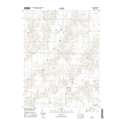
2016 Map of Catlin
USGS Topo · Published 2016About this map
Big Raccoon Creek and Little Raccoon Creek define the geography of this Parke County landscape, where a remarkable collection of timber-framed spans remains. The area is characterized by its preserved river crossings, including Crooks Covered Bridge, McAllisters Covered Bridge, and the Nevins Covered Bridge north of Minshall. These structures reflect a nineteenth-century transportation network that persisted into the modern era, connecting small communities like Bridgeton and Catlin.
Find a feature on this map
82 named features on this map. Tap any name to fly to it.
Don’t see what you’re looking for? This feature index may not catch every label — zoom into the map to look around manually.
Map Details
Editions of this 2016 Catlin Map
This is the sole edition of this map. No revisions or reprints were ever made.
Other maps of this area

1950 · Rosedale
USGS Topo · 1:24,000

1950 · Brazil East
USGS Topo · 1:24,000

1950 · Brazil West
USGS Topo · 1:24,000

1951 · Mecca
USGS Topo · 1:24,000

1951 · Mansfield
USGS Topo · 1:24,000

1952 · Catlin
USGS Topo · 1:24,000

1953 · Indianapolis
USGS Topo · 1:250,000

1955 · Rockville
USGS Topo · 1:24,000

1955 · Montezuma
USGS Topo · 1:24,000

1956 · Indianapolis
USGS Topo · 1:250,000