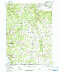
1969 Map of Caton
USGS Topo · Published 1990About this map
The Chemung River valley anchors the northern edge of this landscape, where the Erie-Lackawanna rail lines parallel the water near South Corning. To the south, the terrain rises into a series of named ridges and hollows, including Spencer Hill and Martin Hill, defining a rural settlement pattern centered on the hamlet of Caton. This area preserves several localized clusters of community life, from the industrial heritage at Frenchs Mill to the educational grounds of Corning Community College.
Find a feature on this map
78 named features on this map. Tap any name to fly to it.
Don’t see what you’re looking for? This feature index may not catch every label — zoom into the map to look around manually.
Map Details
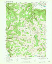
Editions of this 1969 Caton Map
2 editions found
Other maps of this area

1895 · Elmira
USGS Topo · 1:62,500

1900 · Tioga
USGS Topo · 1:62,500

1902 · Tioga
USGS Topo · 1:62,500

1905 · Watkins Glen
USGS Topo · 1:125,000

1914 · Corning
USGS Topo · 1:62,500

1931 · Troy
USGS Topo · 1:48,000

1938 · Troy
USGS Topo · 1:62,500

1944 · Corning
USGS Topo · 1:62,500

1950 · Elmira
USGS Topo · 1:250,000

1953 · Campbell
USGS Topo · 1:24,000