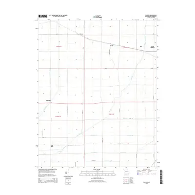
2015 Map of Catron
USGS Topo · Published 2015About this map
Catron and North Lilbourn anchor this survey of the New Madrid County landscape, where the precision of drainage engineering defines the modern topography. The region is marked by a complex system of hydraulic control, including the Little River and an extensive grid of artificial waterways such as Main Ditch, Ditch Number 40, and Ditch Number 52. These channels speak to the intensive land reclamation efforts required to transform the lowland terrain into productive agricultural territory.
Find a feature on this map
35 named features on this map. Tap any name to fly to it.
Don’t see what you’re looking for? This feature index may not catch every label — zoom into the map to look around manually.
Map Details
Editions of this 2015 Catron Map
This is the sole edition of this map. No revisions or reprints were ever made.
Other maps of this area

1939 · Portageville
USGS Topo · 1:62,500

1939 · New Madrid
USGS Topo · 1:62,500

1940 · Malden
USGS Topo · 1:62,500

1940 · Pascola
USGS Topo · 1:62,500

1951 · New Madrid SE
USGS Topo · 1:24,000

1954 · New Madrid
USGS Topo · 1:62,500

1955 · Pascola
USGS Topo · 1:62,500

1955 · Portageville
USGS Topo · 1:62,500

1956 · Malden
USGS Topo · 1:62,500

1956 · Dyersburg
USGS Topo · 1:250,000