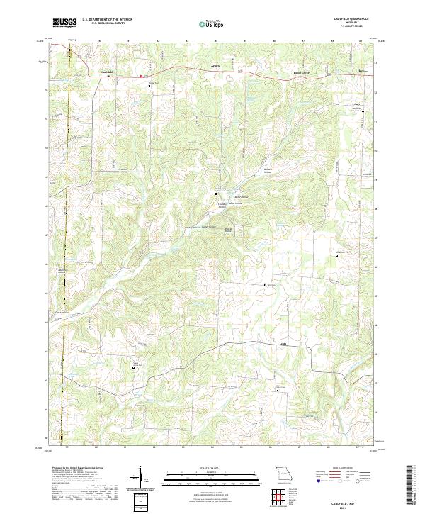
2021 Map of Caulfield
USGS Topo · Published 2021About this map
Caulfield and the surrounding rural landscape of Howell County are defined by a complex network of springs and hollows. The terrain is deeply dissected by drainages like Bennetts Bayou and Mirey Fork, which have shaped the settlement patterns of small communities such as Leota, Egypt Grove, and Hocomo. Local genealogy is well-documented through several family and community burial grounds, including the Amy Union Chapel Cem and Shady Grove Cem. The map reveals the intricate water resources of the region, from named points like Limekiln Spring and Rattlesnake Spring to numerous hollows like Wildcat Hollow and Scofield Hollow, illustrating how the physical geography dictated the placement of roads and homesteads throughout the county.
Find a feature on this map
95 named features on this map. Tap any name to fly to it.
Don’t see what you’re looking for? This feature index may not catch every label — zoom into the map to look around manually.
Map Details
Editions of this 2021 Caulfield Map
This is the sole edition of this map. No revisions or reprints were ever made.
Other maps of this area

1890 · Mountain Home
USGS Topo · 1:125,000

1891 · Mountain Home
USGS Topo · 1:125,000

1894 · Mountain Home
USGS Topo · 1:125,000

1944 · West Plains
USGS Topo · 1:62,500

1944 · Cureall
USGS Topo · 1:62,500

1945 · Harrison
USGS Topo · 1:250,000

1946 · West Plains
USGS Topo · 1:62,500

1946 · Cureall
USGS Topo · 1:62,500

1949 · Harrison
USGS Topo · 1:250,000

1950 · Salem
USGS Topo · 1:62,500