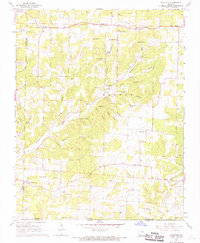
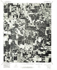
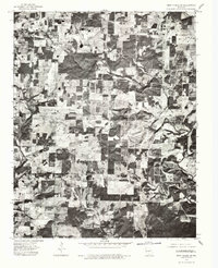
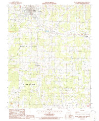
1968 Map of Caulfield
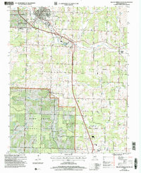
USGS Topo · Published 1968This historical map portrays the area of Caulfield in 1968, primarily covering Howell County as well as portions of Ozark County. Featuring a scale of 1:24000, this map provides a highly detailed snapshot of the terrain, roads, buildings, counties, and historical landmarks in the Caulfield region at the time. Published in 1968, it is the sole known edition of this map.
Find a feature on this map
58 named features on this map. Tap any name to fly to it.
Don’t see what you’re looking for? This feature index may not catch every label — zoom into the map to look around manually.
Map Details
Editions of this 1968 Caulfield Map
This is the sole edition of this map. No revisions or reprints were ever made.
Historical Maps of Egypt Grove Through Time
21 maps found
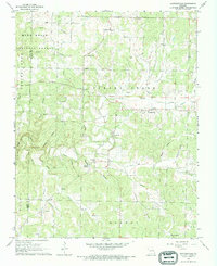
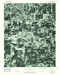
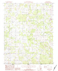
1968 Caulfield
Howell County, MO
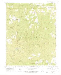
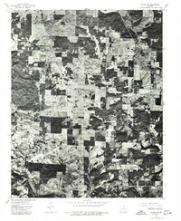
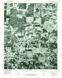
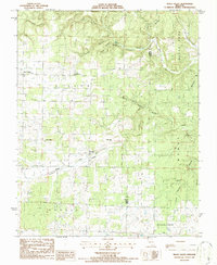
1968 Pottersville
Howell County, MO
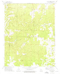
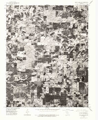
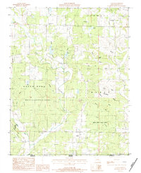
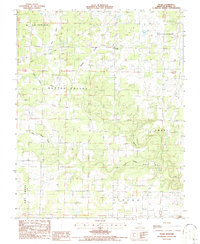
1973 Dyestone Mountain
Howell County, MO
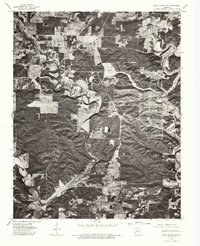
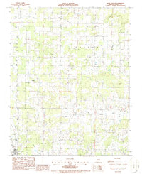
1973 Siloam Springs
Howell County, MO
1976 Thayer NW
Howell County, MO
1976 Thayer SW
Howell County, MO
1976 West Plains NW
Howell County, MO
1976 West Plains SE
Howell County, MO
1976 West Plains SW
Howell County, MO
1976 Willow Springs NW
Howell County, MO
1976 Willow Springs SW
Howell County, MO
1983 Lanton
Howell County, MO
1983 Moody
Howell County, MO
1986 Peace Valley
Howell County, MO
1986 Trask
Howell County, MO
1986 White Church
Howell County, MO
1986 Willow Springs South
Howell County, MO
2004 Dyestone Mountain
Howell County, MO
2004 Pottersville
Howell County, MO
2004 Siloam Springs
Howell County, MO
2004 Willow Springs South
Howell County, MO