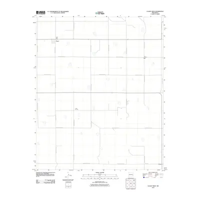
2010 Map of Causey West
USGS Topo · Published 2010About this map
Rogers, Inez, and Causey anchor this high plains landscape in eastern Roosevelt County, which is defined by a rigid grid of local thoroughfares. The road network, including routes like S Roosevelt Road 20 and S Roosevelt Road 24, illustrates the township-and-range surveying system that shaped settlement patterns in this part of New Mexico. Small community hubs remain identifiable through landmarks such as the Rogers Post Office, while the local genealogy is preserved at Inez Cemetery and Longs Cemetery. The map captures a primarily agricultural region where wide-open spaces are punctuated by these sparse, concentrated centers of civic life and memory, connected by long stretches of gravel and paved roads that stretch across the flat horizon.
Find a feature on this map
19 named features on this map. Tap any name to fly to it.
Don’t see what you’re looking for? This feature index may not catch every label — zoom into the map to look around manually.
Map Details
Editions of this 2010 Causey West Map
This is the sole edition of this map. No revisions or reprints were ever made.
Other maps of this area

1954 · Clovis
USGS Topo · 1:250,000

1954 · Brownfield
USGS Topo · 1:250,000

1957 · Arch
USGS Topo · 1:62,500

1957 · Portales
USGS Topo · 1:62,500

1958 · Brownfield
USGS Topo · 1:250,000

1958 · Clovis
USGS Topo · 1:250,000

1962 · Brownfield
USGS Topo · 1:250,000

1970 · Lingo
USGS Topo · 1:24,000

1970 · Causey East
USGS Topo · 1:24,000

1972 · Garrison
USGS Topo · 1:24,000