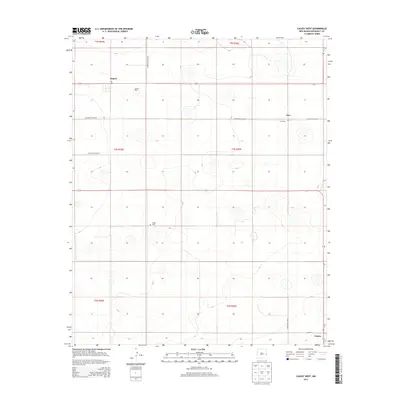
2013 Map of Causey West
USGS Topo · Published 2013About this map
The unincorporated settlement of Rogers and the village of Causey anchor this high plains landscape of Roosevelt County. Published in 2013, the survey depicts a region structured by a rigid grid of rural roads, including S Roosevelt Road K and S Roosevelt Road 20, which serve the local agricultural economy. Small legacy locales like Inez are preserved on the map through landmarks such as Inez Cem, while Longs Cem sits further west near the township boundaries. Local industry is represented by the D and J Dairy, reflecting the area's continued reliance on livestock and dairy production. The geography is characterized by subtle depressions and the absence of major surface water, where development is clustered around specific transportation intersections and the local Po at Rogers.
Find a feature on this map
18 named features on this map. Tap any name to fly to it.
Don’t see what you’re looking for? This feature index may not catch every label — zoom into the map to look around manually.
Map Details
Editions of this 2013 Causey West Map
This is the sole edition of this map. No revisions or reprints were ever made.
Other maps of this area

1954 · Clovis
USGS Topo · 1:250,000

1954 · Brownfield
USGS Topo · 1:250,000

1957 · Arch
USGS Topo · 1:62,500

1957 · Portales
USGS Topo · 1:62,500

1958 · Brownfield
USGS Topo · 1:250,000

1958 · Clovis
USGS Topo · 1:250,000

1962 · Brownfield
USGS Topo · 1:250,000

1970 · Lingo
USGS Topo · 1:24,000

1970 · Causey East
USGS Topo · 1:24,000

1972 · Garrison
USGS Topo · 1:24,000