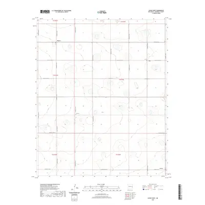
2020 Map of Causey West
USGS Topo · Published 2020About this map
Causey anchor the southeast corner of this Roosevelt County landscape, where the High Plains terrain is defined by a rigid grid of rural corridors. The settlement pattern here is sparse but persistent, with small clusters like Rogers and Inez serving as local landmarks along the section lines. The geometric precision of roads such as S Roosevelt Road 20 and S Roosevelt Road 26 illustrates the systematic organization of the Land Survey System across the New Mexico panhandle.
Find a feature on this map
25 named features on this map. Tap any name to fly to it.
Don’t see what you’re looking for? This feature index may not catch every label — zoom into the map to look around manually.
Map Details
Editions of this 2020 Causey West Map
This is the sole edition of this map. No revisions or reprints were ever made.
Other maps of this area

1954 · Clovis
USGS Topo · 1:250,000

1954 · Brownfield
USGS Topo · 1:250,000

1957 · Arch
USGS Topo · 1:62,500

1957 · Portales
USGS Topo · 1:62,500

1958 · Brownfield
USGS Topo · 1:250,000

1958 · Clovis
USGS Topo · 1:250,000

1962 · Brownfield
USGS Topo · 1:250,000

1970 · Lingo
USGS Topo · 1:24,000

1970 · Causey East
USGS Topo · 1:24,000

1972 · Garrison
USGS Topo · 1:24,000