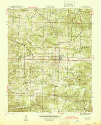
1943 Map of Cave City
USGS Topo · Published 1945About this map
Cave City serves as the central hub of this mid-century survey, situated at the boundary where Sharp and Independence Counties meet. The landscape is defined by a dense network of upland drainage, where Dota Creek and Curia Creek carve through the terrain near landmarks like Smith Hill and Cotton Hill. The era's rural community structure is clearly visible through the distribution of country churches and schools that anchored local life, including Grays Chapel, Palestine Church, and the Pine Springs School.
Find a feature on this map
36 named features on this map. Tap any name to fly to it.
Don’t see what you’re looking for? This feature index may not catch every label — zoom into the map to look around manually.
Map Details
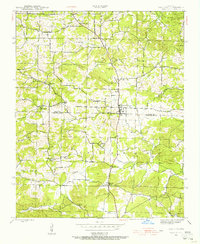
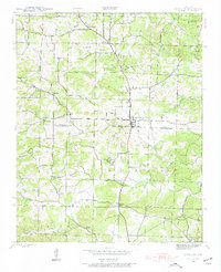
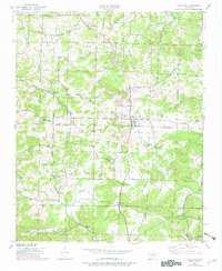
Editions of this 1943 Cave City Map
5 editions found
Other maps of this area

1890 · Batesville
USGS Topo · 1:125,000

1891 · Batesville
USGS Topo · 1:125,000

1932 · Strawberry
USGS Topo · 1:62,500

1935 · Strawberry
USGS Topo · 1:62,500

1941 · Strawberry
USGS Topo · 1:62,500

1942 · Batesville
USGS Topo · 1:31,680

1943 · Sandtown
USGS Topo · 1:24,000

1943 · Cave City
USGS Topo · 1:31,680

1943 · Sulphur Rock
USGS Topo · 1:31,680

1943 · Batesville
USGS Topo · 1:24,000