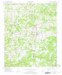
1943 Map of Cave City
USGS Topo · Published 1982About this map
Cave City serves as the central hub of this north-central Arkansas landscape, which was updated in the early 1980s from original wartime surveys. The map highlights a community deeply rooted in its local institutions, evidenced by the numerous country churches such as Hickory Valley Ch and Prosperity Ch, alongside local centers of learning like Maxville Sch and Hodge Sch. The terrain is defined by a series of prominent elevations, including Cotton Hill, Bray Hill, and White Hill, which dictate the winding paths of rural roads and the drainage patterns of Wooldridge Creek and Curia Creek. The boundary between Sharp and Independence counties bisects the area, showing how civic lines intersect with the natural topography. This document provides a record of the mid-century rural infrastructure before further modern development, preserving the locations of the Cave City Cem and various family-named landmarks.
Find a feature on this map
37 named features on this map. Tap any name to fly to it.
Don’t see what you’re looking for? This feature index may not catch every label — zoom into the map to look around manually.
Map Details
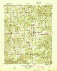
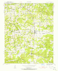
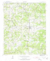
Editions of this 1943 Cave City Map
5 editions found
Other maps of this area

1890 · Batesville
USGS Topo · 1:125,000

1891 · Batesville
USGS Topo · 1:125,000

1932 · Strawberry
USGS Topo · 1:62,500

1935 · Strawberry
USGS Topo · 1:62,500

1941 · Strawberry
USGS Topo · 1:62,500

1942 · Batesville
USGS Topo · 1:31,680

1943 · Sandtown
USGS Topo · 1:24,000

1943 · Cave City
USGS Topo · 1:31,680

1943 · Sulphur Rock
USGS Topo · 1:31,680

1943 · Batesville
USGS Topo · 1:24,000