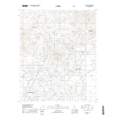
2018 Map of Cave Creek
USGS Topo · Published 2018About this map
Cave Creek and Carefree sit at the northern edge of the Salt River Valley, representing a late-century shift from ranching and mining toward residential development and aviation-focused tourism. The landscape is defined by its drainage systems, including Willow Springs Wash, Grapevine Wash, and Galloway Wash, which carve through the high desert terrain. Notable peaks such as Go John Mtn, Black Mtn, and Lone Mtn provide the backdrop for the sprawling suburban fringes of Scottsdale and Phoenix. This era of the desert's history is marked by the presence of Sky Ranch at Carefree Airport and the preservation of land within the Tonto National Forest. While the foothills are increasingly subdivided by named roads like Rockway Hill Rd and N Spur Cross Rd, the Cave Creek Cem remains a quiet anchor to the area's local heritage.
Find a feature on this map
275 named features on this map. Tap any name to fly to it.
Don’t see what you’re looking for? This feature index may not catch every label — zoom into the map to look around manually.
Map Details
Editions of this 2018 Cave Creek Map
This is the sole edition of this map. No revisions or reprints were ever made.
Other maps of this area

1904 · Camelback
USGS Topo · 1:62,500

1906 · Camelsback
USGS Topo · 1:62,500

1930 · Cave Creek
USGS Topo · 1:125,000

1939 · Cave Creek
USGS Topo · 1:125,000

1954 · Phoenix
USGS Topo · 1:250,000

1954 · Mesa
USGS Topo · 1:250,000

1957 · Mesa
USGS Topo · 1:250,000

1957 · Phoenix
USGS Topo · 1:250,000

1958 · Mesa
USGS Topo · 1:250,000

1958 · Phoenix
USGS Topo · 1:250,000