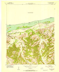
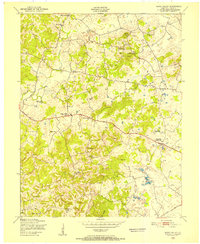
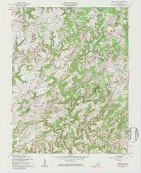
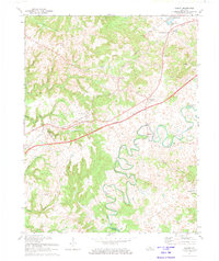
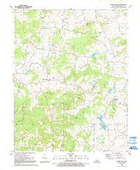
1954 Map of Cave In Rock
USGS Topo · Published 1955This historical map portrays the area of Cave In Rock in 1954, primarily covering Hardin County as well as portions of Hardin County and Illinois. Featuring a scale of 1:24000, this map provides a highly detailed snapshot of the terrain, roads, buildings, counties, and historical landmarks in the Cave In Rock region at the time. Published in 1955, it is the sole known edition of this map.
Find a feature on this map
23 named features on this map. Tap any name to fly to it.
Don’t see what you’re looking for? This feature index may not catch every label — zoom into the map to look around manually.
Map Details
Editions of this 1954 Cave In Rock Map
This is the sole edition of this map. No revisions or reprints were ever made.
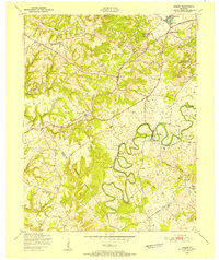
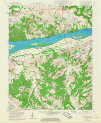
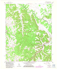
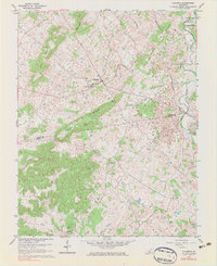
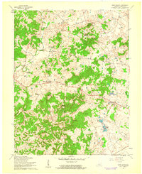
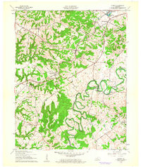
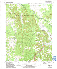
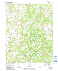
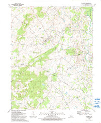
Historical Maps of Cave-In-Rock Through Time
18 maps found
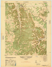
1946 Colesburg
Hardin County, KY
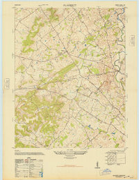
1948 Flaherty
Hardin County, KY
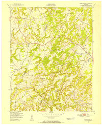
1949 Constantine
Hardin County, KY
1949 Howe Valley
Hardin County, KY
1949 Summit
Hardin County, KY
1954 Cave In Rock
Hardin County, KY
1958 Cave In Rock
Hardin County, KY
1960 Colesburg
Hardin County, KY
1960 Constantine
Hardin County, KY
1960 Flaherty
Hardin County, KY
1960 Howe Valley
Hardin County, KY
1960 Summit
Hardin County, KY
1972 Summit
Hardin County, KY
1991 Colesburg
Hardin County, KY
1991 Constantine
Hardin County, KY
1991 Flaherty
Hardin County, KY
1991 Howe Valley
Hardin County, KY
1991 Summit
Hardin County, KY