
1962 Map of Cawker City
USGS Topo · Published 1963About this map
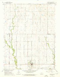
Cawker City sits at a critical junction of rail and river in north-central Kansas, where the Missouri Pacific railroad parallels the course of the Solomon River. The town's grid is established north of the tracks, serving as the primary hub for the surrounding townships of Cawker, Erving, and Athens. The landscape is characterized by its agricultural character, evidenced by the numerous cemeteries including Prairie Grove Cem and Granite Creek Cem, and small rural landmarks like Chandler Sch. The drainage network, featuring the winding Little Oak Creek and Granite Creek, dictates the placement of early infrastructure. For genealogists, this survey preserves the locations of Reformed Cem and Rooker Cem before subsequent 20th-century developments altered the local geography.
Find a feature on this map
18 named features on this map. Tap any name to fly to it.
Don’t see what you’re looking for? This feature index may not catch every label — zoom into the map to look around manually.
Map Details
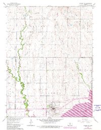
Editions of this 1962 Cawker City Map
3 editions found
Other maps of this area

1893 · Smith Center
USGS Topo · 1:125,000

1894 · Mankato
USGS Topo · 1:125,000

1894 · Beloit
USGS Topo · 1:125,000

1896 · Osborne
USGS Topo · 1:125,000

1953 · Downs South
USGS Topo · 1:24,000

1953 · Waconda Springs
USGS Topo · 1:24,000

1953 · Glen Elder South
USGS Topo · 1:24,000

1955 · Beloit
USGS Topo · 1:250,000

1959 · Beloit
USGS Topo · 1:250,000

1960 · Downs North
USGS Topo · 1:24,000