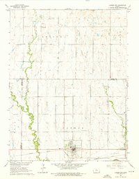
1962 Map of Cawker City
USGS Topo · Published 1976About this map
Cawker City serves as the focal point of this Mitchell County landscape, situated just north of the Solomon River and the Missouri Pacific railroad corridor. The area's mid-century rural character is defined by a systematic grid of section lines, dotted with local landmarks like Chandler Sch and several remote burial grounds, including Rooker Cem and Reformed Cem. The drainage pattern is shaped by the southward flow of Oak Creek and Granite Creek, which carve subtle valleys through the surrounding townships of Erving, Athens, and Cawker. The map also highlights Camp Lincoln near the western edge of the city, providing a detailed look at the local infrastructure and land use prior to the significant regional changes brought about by the development of the Missouri River Basin program.
Find a feature on this map
21 named features on this map. Tap any name to fly to it.
Don’t see what you’re looking for? This feature index may not catch every label — zoom into the map to look around manually.
Map Details
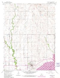
Editions of this 1962 Cawker City Map
3 editions found

Other maps of this area

1893 · Smith Center
USGS Topo · 1:125,000

1894 · Mankato
USGS Topo · 1:125,000

1894 · Beloit
USGS Topo · 1:125,000

1896 · Osborne
USGS Topo · 1:125,000

1953 · Downs South
USGS Topo · 1:24,000

1953 · Waconda Springs
USGS Topo · 1:24,000

1953 · Glen Elder South
USGS Topo · 1:24,000

1955 · Beloit
USGS Topo · 1:250,000

1959 · Beloit
USGS Topo · 1:250,000

1960 · Downs North
USGS Topo · 1:24,000