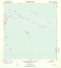
1952 Map of Cayo Icacos
USGS Topo · Published 1953About this map
The Faro de Cabo San Juan stands as a primary landmark on this 1952 survey, marking the northeastern tip of the Puerto Rican mainland overlooking the Pasaje de San Juan. The map details a complex archipelago of cays and islands extending eastward into the Atlantic Ocean, including the prominent Cayo Icacos and the scattered islets of La Cordillera. These small landmasses, such as Cayo Lobos and Cayo de Diablo, reveal a maritime landscape defined by shallow reefs and isolated outcrops.
Find a feature on this map
27 named features on this map. Tap any name to fly to it.
Don’t see what you’re looking for? This feature index may not catch every label — zoom into the map to look around manually.
Map Details
Editions of this 1952 Cayo Icacos Map
2 editions found
Other maps of this area

1945 · Cayo Icacos
USGS Topo · 1:30,000

1946 · Punta Puerca
USGS Topo · 1:30,000

1946 · Fajardo
USGS Topo · 1:30,000

1947 · Fajardo NE
USGS Topo · 1:10,000
1952 · Cayo Icacos
USGS Topo · 1:30,000

1952 · Punta Puerca
USGS Topo · 1:30,000
1952 · Fajardo
USGS Topo · 1:30,000
1957 · Punta Puerca
USGS Topo · 1:20,000
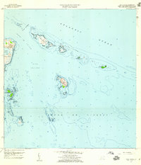
1958 · Cayo Icacos
USGS Topo · 1:20,000
1958 · Fajardo
USGS Topo · 1:20,000