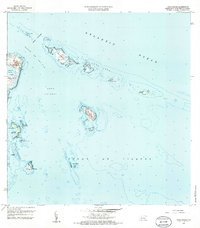
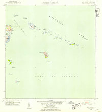
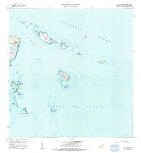
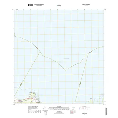
1958 Map of Cayo Icacos
USGS Topo · Published 1985About this map
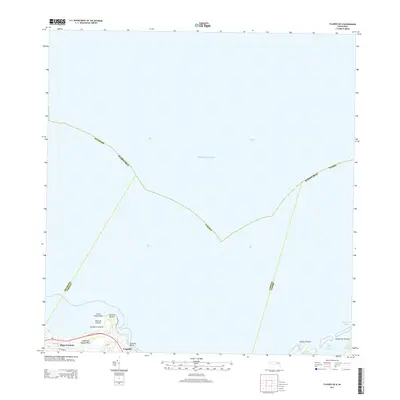
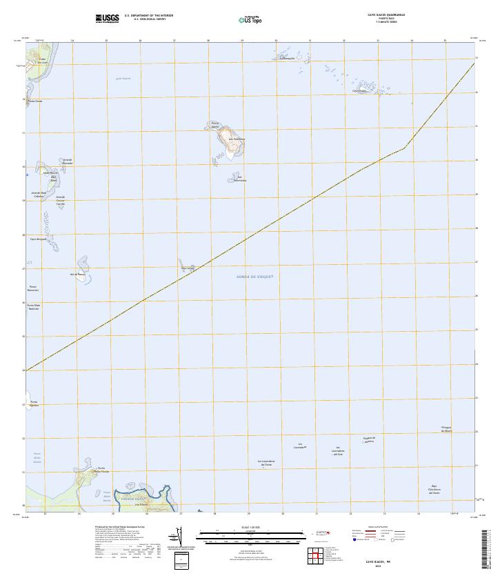
The waters of the Pasaje de San Juan and Sonda de Vieques surround the northeastern coastal tip of Puerto Rico, revealing a complex maritime landscape of reefs and cays. At the prominent headland of Cabezas, the Faro lighthouse stands sentinel near Cabo San Juan, overlooking the enclosed waters of Laguna Grande and the small coastal stretch of Playa Canalejo.
Find a feature on this map
30 named features on this map. Tap any name to fly to it.
Don’t see what you’re looking for? This feature index may not catch every label — zoom into the map to look around manually.
Map Details
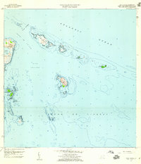
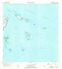
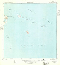
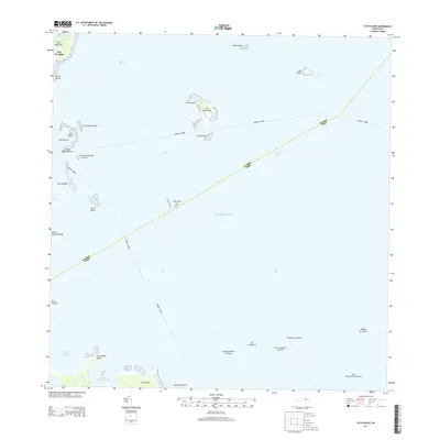
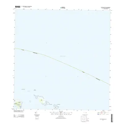
Editions of this 1958 Cayo Icacos Map
4 editions found
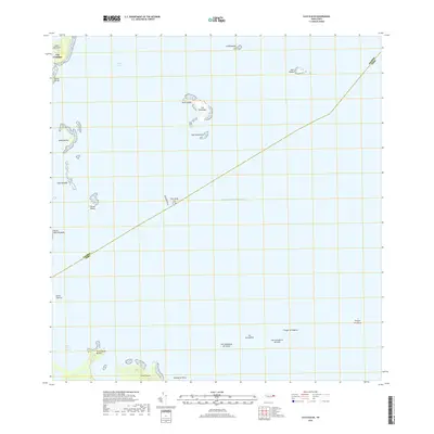
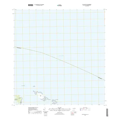
Historical Maps of Cabezas Through Time
13 maps found
1945 Cayo Icacos
Fajardo Municipio, PR

1947 Fajardo NE
Fajardo Municipio, PR
1952 Cayo Icacos
Fajardo Municipio, PR
1958 Cayo Icacos
Fajardo Municipio, PR
2013 Cayo Icacos
Fajardo Municipio, PR
2013 Cayo Icacos OE N
Fajardo Municipio, PR
2013 Fajardo OE N
Fajardo Municipio, PR
2018 Cayo Icacos
Fajardo Municipio, PR
2018 Cayo Icacos OE N
Fajardo Municipio, PR
2018 Fajardo OE N
Fajardo Municipio, PR
2024 Cayo Icacos
Fajardo Municipio, PR
2024 Cayo Icacos OE N
Fajardo Municipio, PR
2024 Fajardo OE N
Fajardo Municipio, PR