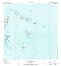
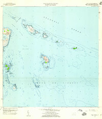
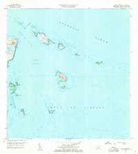
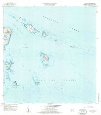
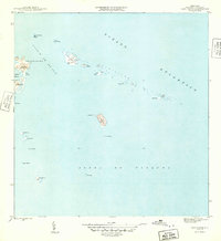
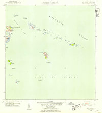
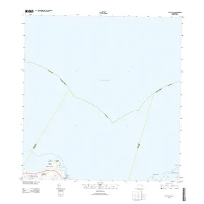
1958 Map of Cayo Icacos
USGS Topo · Published 1991About this map
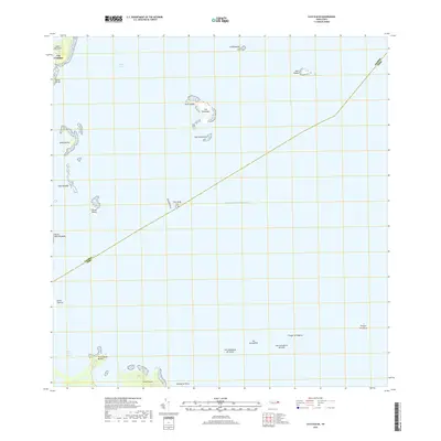
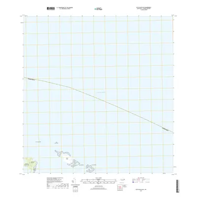
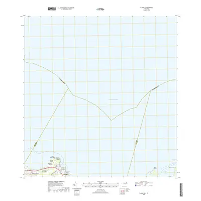
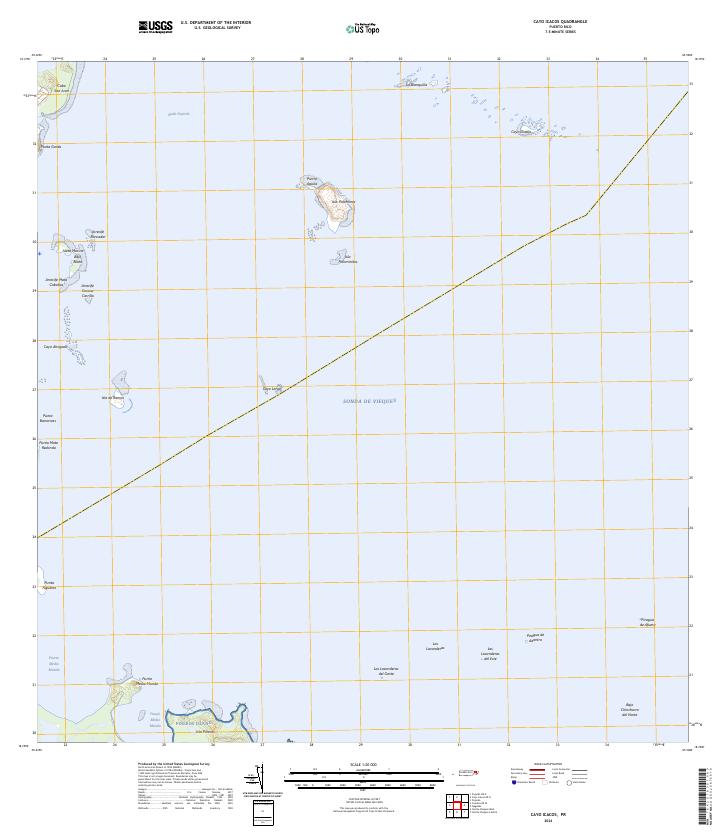
Cabo San Juan defines the northeastern tip of Puerto Rico, where the lighthouse at Faro de Cabo San Juan overlooks the transition from the Atlantic Ocean to the Sonda de Vieques. This maritime landscape is characterized by the intricate chain of reefs and islets known as La Cordillera, stretching eastward through Cayo Icacos, Cayo Lobos, and the isolated Cayo Diablo. To the south, the waters of Rada Fajardo are protected by significant landmasses like Isla Palominos and Isla de Ramos. The presence of hazards such as Arrecife Roncador and Arrecife Corona Carrillo underscores the importance of the historic Faro for navigation through the Pasaje de San Juan. The coastal geography is further marked by the enclosed Laguna Grande and the prominent headlands of Cabezas de San Juan, providing a clear view of the region's hydrography as recorded in the mid-20th century.
Find a feature on this map
30 named features on this map. Tap any name to fly to it.
Don’t see what you’re looking for? This feature index may not catch every label — zoom into the map to look around manually.
Map Details
Editions of this 1958 Cayo Icacos Map
4 editions found
Historical Maps of Cabezas Through Time
13 maps found
1945 Cayo Icacos
Fajardo Municipio, PR

1947 Fajardo NE
Fajardo Municipio, PR
1952 Cayo Icacos
Fajardo Municipio, PR
1958 Cayo Icacos
Fajardo Municipio, PR
2013 Cayo Icacos
Fajardo Municipio, PR
2013 Cayo Icacos OE N
Fajardo Municipio, PR
2013 Fajardo OE N
Fajardo Municipio, PR
2018 Cayo Icacos
Fajardo Municipio, PR
2018 Cayo Icacos OE N
Fajardo Municipio, PR
2018 Fajardo OE N
Fajardo Municipio, PR
2024 Cayo Icacos
Fajardo Municipio, PR
2024 Cayo Icacos OE N
Fajardo Municipio, PR
2024 Fajardo OE N
Fajardo Municipio, PR